


Urban mapping has seen considerable changes in recent years. In the past, it was already enough to have cities mapped and charted using two dimensions only. However, as time progressed and new technology is made available, people are steadily embracing the fact that the world has three dimensions and it makes sense to map its various facets and settings through three-dimensional means.
While maps used to be flat in the past, people these days, thanks to 3D mapping technology can now enjoy maps that showcase the complexity of the three-dimensional world. These maps are designed to show how roads go down or up, and it also shows the heights, shapes, volumes, and even the complex interiors of buildings and infrastructures.
The need to have more complex and more detailed maps has become a constant challenge among many players in the 3D mapping market, according to Hassan Sadiq Himex. Today, urban planners have to face the challenge of mapping, understanding and analyzing their respective cities through three-dimensional means. As it is, 3D applications such as studies for stormwater runoff, or building shadowing have become increasingly more common in recent years.
Organisations involved in urban mapping that want to convert their 2D platforms into a 3D one should first assess who their users are going to be and what are the main applications that will require 3D before proceeding with the transition. The toolsets that are required to convert their data from 2D to 3D should also be looked into, more importantly; they will also need to look at the costs if the benefits of the transition will far outweigh the numbers involved.
When the transition is done correctly, urban mapping through 3D technology will not only extend the value of 2D GIS data, it will also extend its investment and its overall lifespan too. Many organizations have spent quite a huge sum of money in the creation and maintenance of databases for a geographic information system or GIS for decades. This vast amount of data can be used as leverage as the enterprise finally pushes through with the transition to a 3D environment. The available GIs data will not go to waste provided that there is proper planning involved.
For those planning to develop 3D urban maps, it is important to remember that the design and the type of map created should depend on the specific requirements for their application. This means that it is possible to come up with different types of maps out of the existing GIS data in order to cater to specific types of users that it is going to be most useful for.
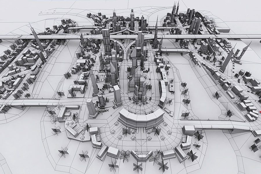
A properly designed 3D urban map will have details such as specifications of buildings, the representations of the functional and physical characteristics of certain facilities while tying everything to a three-dimensional geographic location. A collective map like this, when fully attributed and built, can enable an even better degree of understanding on what a complete urban environment is like. It can also help facilitate the planning and management of events while ensuring educated decision-making.
Learn more about 3D urban mapping by reading more about Hassan Sadiq Himex online.